AUV vs ROV trong Pipeline Inspection: Nên chọn công nghệ nào?
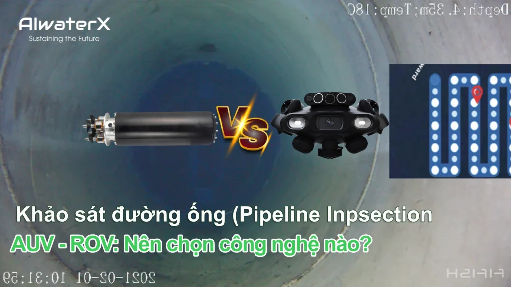
So sánh AUV và ROV trong pipeline inspection về khả năng tự hành, điều khiển, khảo sát đường ống, thu thập dữ liệu và ứng dụng thực tế.
Phân tích thủy lực và chống nước va: Giải pháp bảo vệ đường ống và tiết kiệm năng lượng
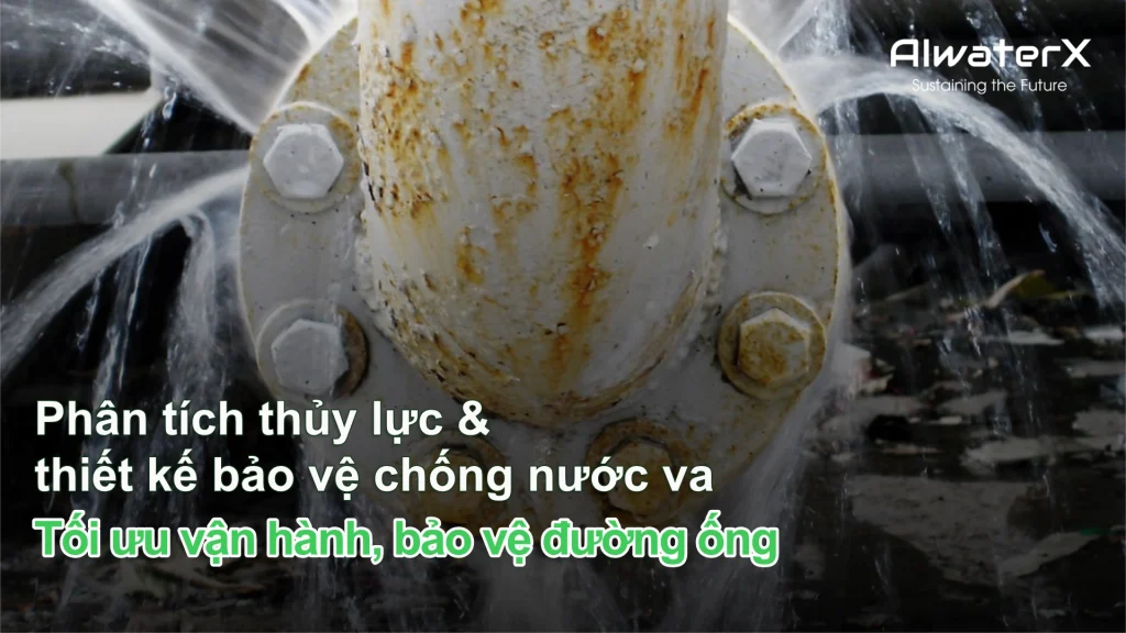
Phân tích thủy lực không chỉ nhằm xác định đường kính ống hay áp lực tại từng điểm. Đối với những hệ thống có nguy cơ biến động áp lực, cần xem xét cả thủy lực quá độ (hydraulic transient) để dự đoán tình trạng hệ thống và thiết kế giải pháp bảo vệ phù hợp.
DỊCH VỤ PHÂN TÍCH THỦY LỰC TỨC THỜI VÀ THIẾT KẾ BẢO VỆ CHỐNG NƯỚC VA
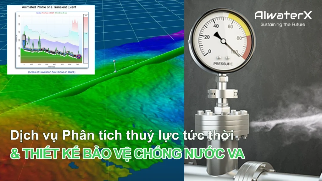
Mô phỏng chính xác các biến động áp suất, nhận diện rủi ro và thiết kế giải pháp bảo vệ tối ưu cho đường ống, trạm bơm và mạng lưới chất lỏng có áp.
Survey/Mapping

AIwaterX: Precision Survey & Mapping Services with Drones AIwaterX offers cutting-edge drone-based survey and mapping services, providing high-resolution aerial data for various industries. Our drone technology ensures rapid data collection, enhanced accuracy, and cost-effective solutions, making it ideal for infrastructure planning, land surveying, agriculture, and environmental monitoring. Our Survey & Mapping Services 1. Aerial Land […]